1 of 1 copy available
1 of 1 copy available
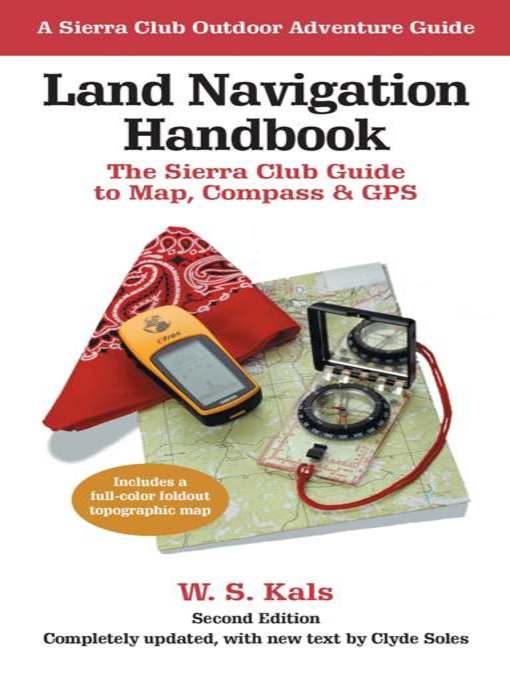
Starting with the basics of interpreting maps and orienting by compass, the proceeds clearly through the more advanced mysteries of land navigation: measuring distances and estimating travel times; determining and adjusting for local declination around the globe; using an altimeter to add the dimension of height to one's position; and navigation by means of sun and stars. In updating the late W. S. Kal's text, coauthor Clyde Soles focuses on the latest developments in technology and equipment. Readers learn, for example, that through digital mapping software, one can order the exact area desired, at any scale, and print it on waterproof paper. Soles also surveys the popular handheld GPS units and instructs in their use, and provides an overview of marine navigation for the growing sport of sea kayaking. Visuals include a full-color foldout topographic map for reference and practice, plus dozens of helpful drawings and photographs.
Though much has changed, one thing certainly hasn't: The new edition of Land Navigation Handbook retains the solid information, spirit, and lively humor that made it a classic among outdoorspeople everywhere.
-
Creators
-
Series
-
Publisher
-
Release date
July 1, 2010 -
Formats
-
OverDrive Read
- ISBN: 9781578051878
-
EPUB ebook
- ISBN: 9781578051878
- File size: 2345 KB
-
-
Languages
- English
Loading
Why is availability limited?
×Availability can change throughout the month based on the library's budget. You can still place a hold on the title, and your hold will be automatically filled as soon as the title is available again.
The Kindle Book format for this title is not supported on:
×Read-along ebook
×The OverDrive Read format of this ebook has professional narration that plays while you read in your browser. Learn more here.
